Tectonic plate
Somali Plate
The eastern part of what is often mapped as a single African Plate, separated from it in plate models by the East African Rift. Whether the rift has yet made two plates is a question about how much relative motion a model needs before it draws a boundary.
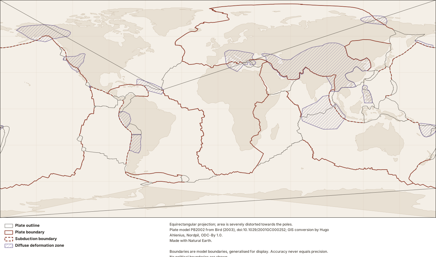
Figure by Lithoen. Plate model PB2002 from Bird (2003), doi:10.1029/2001GC000252; GIS conversion by Hugo Ahlenius, Nordpil, ODC-By 1.0. Made with Natural Earth. Underlying data remain under their own licences. · LITHOEN-ORIGINAL · Derivative: Generated from published Lithoen spatial records by scripts/generate-maps.ts; no coordinate was edited by hand. Features spanning ±180° are split for rendering only; the stored geometry is unchanged.
Classification
- plate class
- major
How this is mapped
One published representation of where Somali Plate is. Each is one interpretation, by one identified source, at one scale — not the shape of the thing itself.
Tectonic model geometry
Polygon · 265 positionspreferred for publicationGeometry that exists because a model defines it — a rigid-plate outline, a zone where a model declares itself inapplicable. It is a property of the model, and changes when the model is revised. It is present-day geometry from a present-day model; a palaeogeographic reconstruction is a different thing and Lithoen does not hold one.
The Somali Plate as outlined in model PB2002 (Bird, 2003). This is the model’s boundary, not a mapped geological contact: it is where a rigid-plate model puts the edge of a plate, and Bird’s own documentation states that coordinates are given to a precision of about 60 m while "accuracy never equals precision". Where deformation is distributed rather than confined to a line, the model marks the region as an orogen and the outline there is a convenience.
- Boundary certainty
- InterpretedThe boundary was placed by a geologist reading evidence: mapping, geophysics, geochronology, structure. It is reproducible from that evidence and it is an interpretation of it. Most geological boundaries are this.
- Status of this geometry
- modelledThe status of the geometry, which need not match the status of what the entity’s claims assert.
- Dataset
- PB2002 plates, boundaries and orogens as GeoJSON (fraxen/tectonicplates)Plate model PB2002 from Bird (2003), doi:10.1029/2001GC000252; GIS conversion by Hugo Ahlenius, Nordpil, ODC-By 1.0.
What was done to this geometry
- By Lithoen — Douglas–Peucker, 479 positions to 265
- By Lithoen — Coordinates rounded to 4 decimal places, about 11 m of longitude at the equator.
- Before it reached Lithoen — Bird (2003) digitised the boundary curves from published sources at varying scales; the model is a compilation, not a single survey.
- Before it reached Lithoen — The GIS conversion (Ahlenius, ODC-By 1.0) split segments spanning the -180/180 meridian and moved them, as its README states. Four plates therefore arrive as multi-part geometries.
In the knowledge graph
- Somali Plate adjacent to African Plate
- Somali Plate adjacent to Indian Plate
Record last updated 2026-09-07. Corrections follow the published corrections policy; superseded claims are retained, never silently edited.